Aerial view of the Pacific Palisades coastline after the January 2025 fire
A Market Analysis
Civil Engineering · Spatial Economics
2026
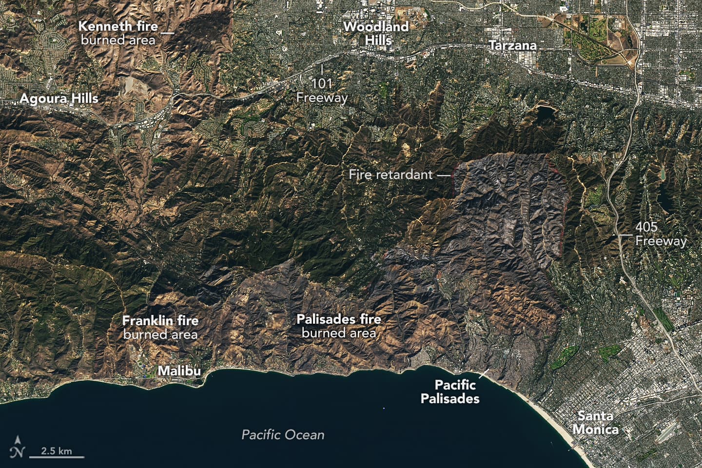
Market Opportunity Brief · Post-Wildfire Coastal Corridor

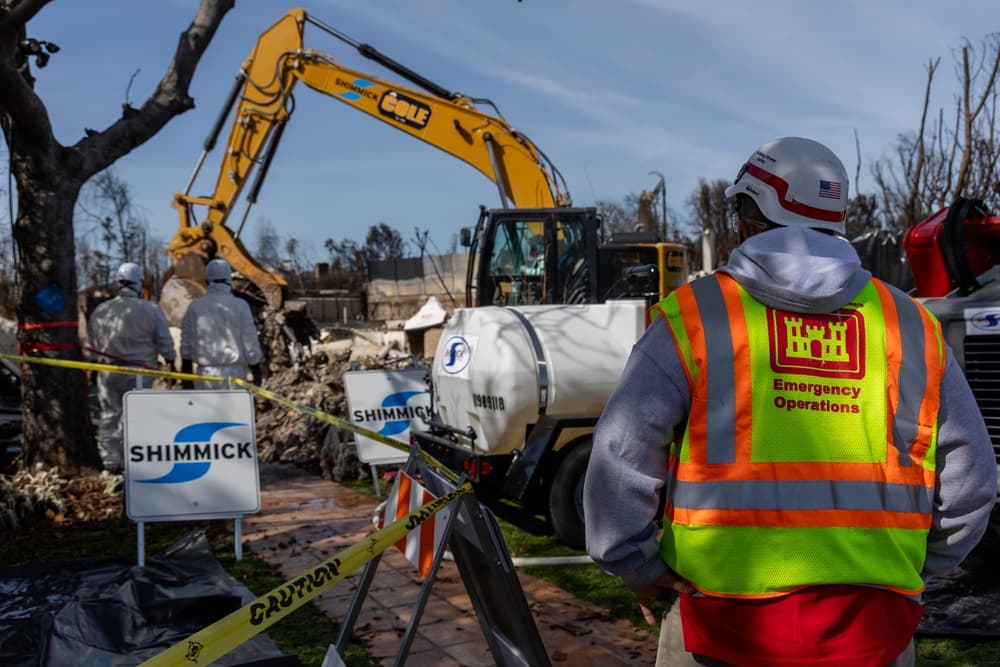
Drone-Enabled Civil Engineering

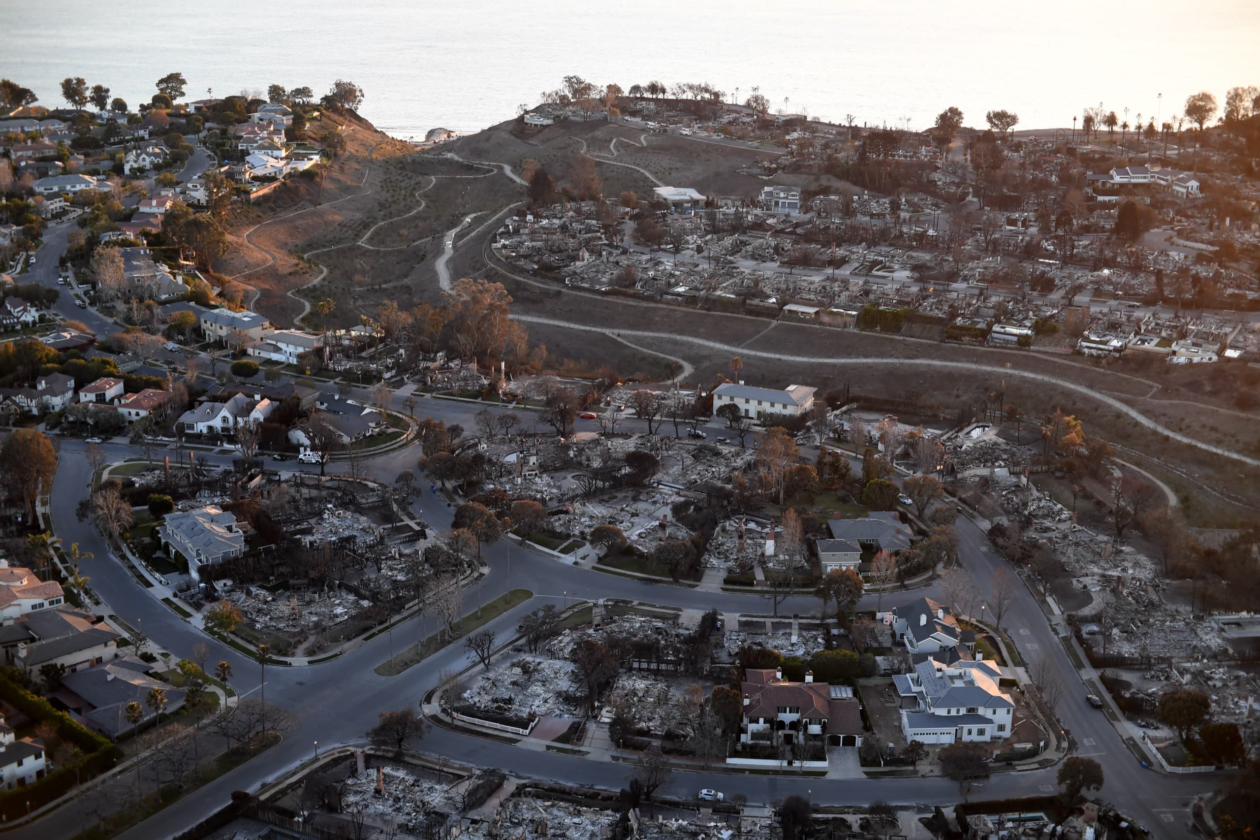
in the Malibu–Pacific Palisades Coastal Corridor

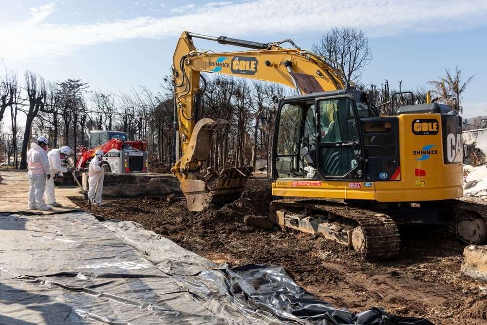
Where a single operator holds both the stamp and the airspace authorization, the post-fire reconstruction of one of America’s most valuable coastlines becomes a defensible engineering market — not a commodity drone service.

Licensed Civil Engineer (CA)FAA Part 107 Remote Pilot· June 2026
Landsat satellite view of the Palisades Fire burn footprint over Pacific Palisades and the coast
Frontispiece The Palisades Fire footprint along the Malibu–Pacific Palisades coast, imaged days after ignition; charred terrain and fire-retardant lines trace the corridor. NASA Earth Observatory / USGS Landsat 9 (public domain)
Abstract

The January 2025 Palisades Fire destroyed more than 6,800 structures and burned over half of the corridor’s slope area at moderate-to-high severity,1,2 opening a 24–36 month reconstruction window across some of the highest-value terrain in the United States. This thesis argues that the convergence of two credentials — a post-1982 California civil engineering license and an FAA Part 107 remote pilot certificate — creates a durable, defensible market position that neither surveyors nor commodity drone operators can occupy alone.

Drone-derived photogrammetry and LiDAR collapse the cost and schedule of engineering-grade topography by 40–70%,7while the engineer’s stamp converts raw point clouds into liable, permit-ready deliverables. Layered over a corridor of overlapping airspace and jurisdictional constraints,5,6these barriers thin the field of qualified competitors rather than the operator’s own opportunity — and position the dual-credentialed engineer-pilot to capture recurring, high-margin revenue throughout the reconstruction.